ga_s2ls_intertidal_cyear_3_x201y127_2020--P1Y_final.stac-item
dataset of product ga_s2ls_intertidal_cyear_3
Indexed by odc_admin
,
created
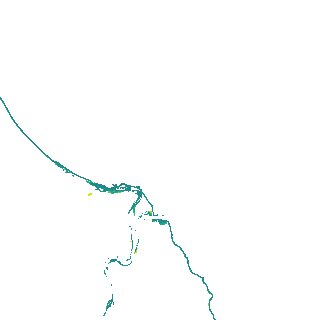
Region
x201y127
for
1st January 2020
Fields 🔗
creation_time
2024-03-31 04:51:46
dataset_maturity
final
eo_gsd
10.0
format
GeoTIFF
id
3c98bdb7-bf2d-455e-9895-e3527e05deda
instrument
ETM_OLI_TIRS_MSI
intertidal_hat
1.74
intertidal_hot
1.69
intertidal_lat
-1.51
intertidal_lot
-0.82
intertidal_offset_high
1.39
intertidal_offset_low
21.24
intertidal_otr
2.51
intertidal_spread
77.37
intertidal_tr
3.25
intertidal_tr_class
mesotidal
label
•
lat
-24.868 to -24.541
lon
152.212 to 152.579
platform
landsat-7,landsat-8,sentinel-2a,sentinel-2b
product_family
intertidal
region_code
x201y127
time
2020-01-01 00:00:00 to 2020-12-31 23:59:59