ga_s2ls_intertidal_cyear_3_x088y143_2018--P1Y_final.stac-item
dataset of product ga_s2ls_intertidal_cyear_3
Indexed by odc_admin
,
created
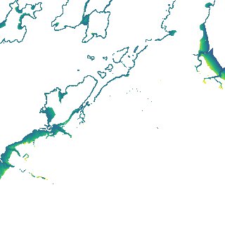
Region
x088y143
for
1st January 2018
Fields 🔗
creation_time
2024-03-31 00:50:41
dataset_maturity
final
eo_gsd
10.0
format
GeoTIFF
id
498d5a83-2cc7-4696-9314-f1da04257519
instrument
ETM_OLI_TIRS_MSI
intertidal_hat
2.41
intertidal_hot
1.97
intertidal_lat
-2.48
intertidal_lot
-1.32
intertidal_offset_high
9.01
intertidal_offset_low
23.74
intertidal_otr
3.29
intertidal_spread
67.26
intertidal_tr
4.89
intertidal_tr_class
macrotidal
label
•
lat
-20.885 to -20.565
lon
116.492 to 116.836
platform
landsat-7,landsat-8,sentinel-2a,sentinel-2b
product_family
intertidal
region_code
x088y143
time
2018-01-01 00:00:00 to 2018-12-31 23:59:59