ga_s2ls_intertidal_cyear_3_x189y146_2020--P1Y_final.stac-item
dataset of product ga_s2ls_intertidal_cyear_3
Indexed by odc_admin
,
created
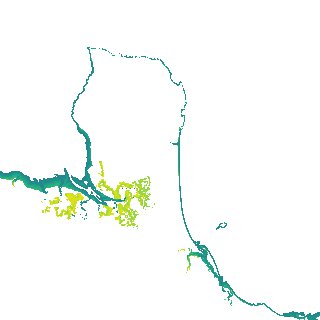
Region
x189y146
for
1st January 2020
Fields 🔗
creation_time
2024-03-31 04:06:02
dataset_maturity
final
eo_gsd
10.0
format
GeoTIFF
id
9258d694-7cc5-41f4-8e6b-fa200b7d6ad6
instrument
ETM_OLI_TIRS_MSI
intertidal_hat
1.69
intertidal_hot
1.66
intertidal_lat
-1.55
intertidal_lot
-0.83
intertidal_offset_high
0.7
intertidal_offset_low
22.16
intertidal_otr
2.49
intertidal_spread
77.14
intertidal_tr
3.24
intertidal_tr_class
mesotidal
label
•
lat
-19.959 to -19.638
lon
147.664 to 148.006
platform
landsat-7,landsat-8,sentinel-2a,sentinel-2b
product_family
intertidal
region_code
x189y146
time
2020-01-01 00:00:00 to 2020-12-31 23:59:59