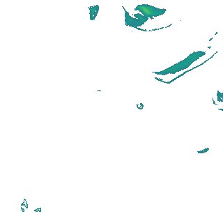
ga_s2ls_intertidal_cyear_3_x178y167_2018--P1Y_final.stac-item
dataset of product ga_s2ls_intertidal_cyear_3
Indexed by odc_admin
,
created
Region
x178y167
for
1st January 2018
Fields 🔗
creation_time
2024-03-28 09:39:26
dataset_maturity
final
eo_gsd
10.0
format
GeoTIFF
id
950fbecb-f7e8-47f8-bba2-535431f85776
instrument
ETM_OLI_TIRS_MSI
intertidal_hat
1.72
intertidal_hot
1.58
intertidal_lat
-1.69
intertidal_lot
-0.82
intertidal_offset_high
4.09
intertidal_offset_low
25.36
intertidal_otr
2.4
intertidal_spread
70.54
intertidal_tr
3.41
intertidal_tr_class
mesotidal
label
•
lat
-14.247 to -13.929
lon
143.718 to 144.037
platform
landsat-7,landsat-8,sentinel-2a,sentinel-2b
product_family
intertidal
region_code
x178y167
time
2018-01-01 00:00:00 to 2018-12-31 23:59:59