ga_s2ls_intertidal_cyear_3_x199y105_2017--P1Y_final.stac-item
dataset of product ga_s2ls_intertidal_cyear_3
Indexed by odc_admin
,
created
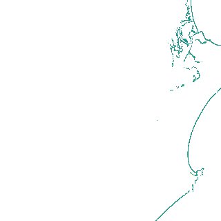
Region
x199y105
for
1st January 2017
Fields 🔗
creation_time
2024-03-28 10:55:11
dataset_maturity
final
eo_gsd
10.0
format
GeoTIFF
id
a125f5b6-04b6-48e0-9c3e-bc44152d47e0
instrument
ETM_OLI_TIRS_MSI
intertidal_hat
1.15
intertidal_hot
1.11
intertidal_lat
-0.9
intertidal_lot
-0.66
intertidal_offset_high
2.13
intertidal_offset_low
11.44
intertidal_otr
1.77
intertidal_spread
86.44
intertidal_tr
2.05
intertidal_tr_class
mesotidal
label
•
lat
-31.157 to -30.829
lon
152.716 to 153.105
platform
landsat-7,landsat-8,sentinel-2a,sentinel-2b
product_family
intertidal
region_code
x199y105
time
2017-01-01 00:00:00 to 2017-12-31 23:59:59