ga_s2ls_intertidal_cyear_3_x171y174_2016--P1Y_final.stac-item
dataset of product ga_s2ls_intertidal_cyear_3
Indexed by odc_admin
,
created
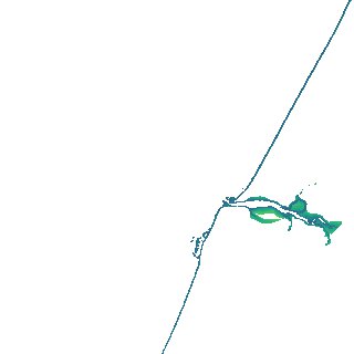
Region
x171y174
for
1st January 2016
Fields 🔗
creation_time
2024-04-02 22:39:47
dataset_maturity
final
eo_gsd
10.0
format
GeoTIFF
id
a18840fa-2616-4da9-a617-cde20b23e739
instrument
ETM_OLI_TIRS_MSI
intertidal_hat
1.03
intertidal_hot
0.62
intertidal_lat
-1.52
intertidal_lot
-1.35
intertidal_offset_high
16.31
intertidal_offset_low
6.51
intertidal_otr
1.97
intertidal_spread
77.17
intertidal_tr
2.55
intertidal_tr_class
mesotidal
label
•
lat
-12.371 to -12.055
lon
141.523 to 141.833
platform
landsat-7,landsat-8,sentinel-2a,sentinel-2b
product_family
intertidal
region_code
x171y174
time
2016-01-01 00:00:00 to 2016-12-31 23:59:59