ga_s2ls_intertidal_cyear_3_x196y138_2018--P1Y_final.stac-item
dataset of product ga_s2ls_intertidal_cyear_3
Indexed by odc_admin
,
created
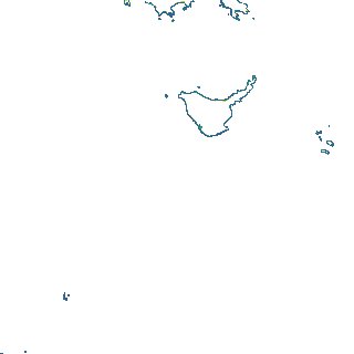
Region
x196y138
for
1st January 2018
Fields 🔗
creation_time
2024-03-28 10:39:13
dataset_maturity
final
eo_gsd
10.0
format
GeoTIFF
id
aea30d6e-83fe-4e03-9474-fd3c9bf07ed3
instrument
ETM_OLI_TIRS_MSI
intertidal_hat
3.55
intertidal_hot
3.32
intertidal_lat
-3.18
intertidal_lot
-1.66
intertidal_offset_high
3.43
intertidal_offset_low
22.47
intertidal_otr
4.98
intertidal_spread
74.1
intertidal_tr
6.73
intertidal_tr_class
macrotidal
label
•
lat
-21.971 to -21.646
lon
150.133 to 150.487
platform
landsat-7,landsat-8,sentinel-2a,sentinel-2b
product_family
intertidal
region_code
x196y138
time
2018-01-01 00:00:00 to 2018-12-31 23:59:59