ga_s2ls_intertidal_cyear_3_x150y168_2017--P1Y_final.stac-item
dataset of product ga_s2ls_intertidal_cyear_3
Indexed by odc_admin
,
created
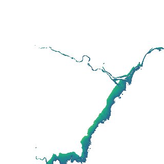
Region
x150y168
for
1st January 2017
Fields 🔗
creation_time
2024-03-28 11:07:58
dataset_maturity
final
eo_gsd
10.0
format
GeoTIFF
id
b259adec-8db2-4878-83ba-96863135b696
instrument
ETM_OLI_TIRS_MSI
intertidal_hat
1.1
intertidal_hot
0.78
intertidal_lat
-1.49
intertidal_lot
-1.42
intertidal_offset_high
12.3
intertidal_offset_low
2.88
intertidal_otr
2.2
intertidal_spread
84.82
intertidal_tr
2.59
intertidal_tr_class
mesotidal
label
•
lat
-14.444 to -14.144
lon
135.516 to 135.818
platform
landsat-7,landsat-8,sentinel-2a,sentinel-2b
product_family
intertidal
region_code
x150y168
time
2017-01-01 00:00:00 to 2017-12-31 23:59:59