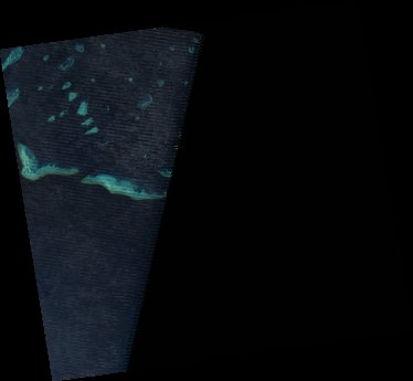
ga_ls7e_nbart_gm_cyear_3_x48y31_2016-01-01_final
dataset of product ga_ls7e_nbart_gm_cyear_3
Indexed by odc_writer
,
created
Region
x48y31
for
1st January 2016
Fields 🔗
cloud_cover
•
creation_time
2021-10-18 23:45:29
crs_raw
epsg:3577
dataset_maturity
final
format
GeoTIFF
id
dab0dd7c-8ddf-42d4-80eb-f6de837f57dc
instrument
ETM
label
ga_ls7e_nbart_gm_cyear_3_x48y31_2016-01-01_final
lat
-21.888 to -20.908
lon
150.659 to 151.721
platform
landsat-7
product_family
geomedian
region_code
x48y31
time
2016-01-01 00:00:00 to 2016-12-31 23:59:59
Related Datasets 🔗
ga_ls7e_nbart_gm_cyear_3_x48y31_2016-01-01_final