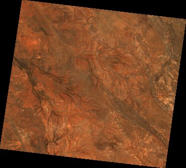
ga_ls7e_nbart_gm_cyear_3_x10y29_2001-01-01_final
dataset of product ga_ls7e_nbart_gm_cyear_3
Indexed by odc_writer
,
created
Region
x10y29
for
1st January 2001
Fields 🔗
cloud_cover
•
creation_time
2021-10-19 00:36:13
crs_raw
epsg:3577
dataset_maturity
final
format
GeoTIFF
id
ff951ad1-00b3-4263-8f33-365af6a244e2
instrument
ETM
label
ga_ls7e_nbart_gm_cyear_3_x10y29_2001-01-01_final
lat
-23.942 to -22.98
lon
114.809 to 115.874
platform
landsat-7
product_family
geomedian
region_code
x10y29
time
2001-01-01 00:00:00 to 2001-12-31 23:59:59